


Understanding the far-reaching impact of Colorado State University’s Geospatial Centroid might start with getting a handle on its unique name.
“When you tell academics it’s called the Geospatial Centroid, there’s always a smirk or a smile,” said Sophia Linn, head of the unit. “My daughter calls it the geekiest name at CSU.”
To put it simply, “geospatial” refers to information that is tied to a specific place on Earth. Geospatial data can be represented as points, lines, or polygons – or any features that can be displayed on a map. A “centroid,” meanwhile, is the geographic center of an irregular shape – in this case, the Colorado State University campus, where the Geospatial Centroid is a center for collaboration with teams from all eight colleges and has evolved into a resource for people far beyond Fort Collins.
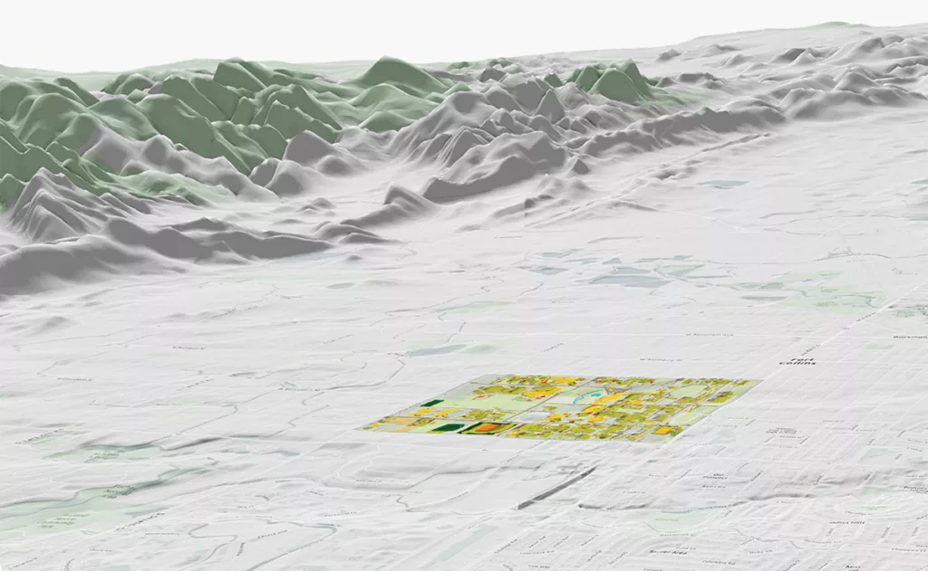
At its core, the Centroid uses geographic information systems, open-source programming languages, and other geospatial technologies to visualize and analyze data. The team uses skills including cartography and interactive map development to process datasets made up of hundreds of thousands of rows of research.
Past projects have involved animating the migration patterns of elk around Rocky Mountain National Park, developing and designing publication-ready maps for history researchers, and a multifaceted effort to demonstrate the continued impact of the record-setting Cameron Peak Fire in 2020. Another project involves developing an online portal that reveals the global origins of materials used in a CSU ceramics studio.
“All of the technologies we have at our disposal enable us to do some interesting and exciting things,” Linn said. “This is not your grandfather’s mapmaking.”
Changing how we see data
While the Geospatial Centroid started in 2009, GIS has been alive at CSU since the technology’s inception. In fact, the University has one of the earliest licenses for Esri software, a historically dominant GIS platform that continues to be used across the industry.
The Centroid was the brainchild of a group of researchers in the Warner College of Natural Resources, who decided to form a center to provide geospatial data and technical support to teams across campus. Linn joined Founding Director Melinda Laituri, professor of geography, to assemble a small but mighty staff that quickly developed a reputation for problem-solving and collaboration.
As their reputation grew, so did the need for a more centralized space, and the Centroid moved to Morgan Library in 2014 – fulfilling CSU Libraries’ mission to support researchers and students.
More change came in 2019, when the Office of the Vice President for Research funded the Centroid as an Emerging Core Facility. The $150,000 award enabled it to move to a more specialized office on the second floor of the library overlooking the Lory Student Center.
“The Geospatial Centroid is providing skills and important technologies that a lot of researchers desperately need to study everything from humanities to hard science to the environment,” said Meg Brown-Sica, associate dean of research support and community engagement at CSU Libraries. “They move a huge amount of CSU research forward.”
Researchers often reach out directly to the seven staff members at the Centroid. One of them is Josh Reyling, the geospatial help desk lead. He remembers a time when a sociology student wanted help creating a map that compared the number of trees in a specific area and the crime rate.
“I can’t imagine doing anything else with my life,” Reyling said. “GIS affects everyone, every day, without them ever knowing it. You couldn’t use Google Maps, place an Amazon order, or even drive your car through a streetlight without spatial data.”
Illuminating research impact
The Geospatial Centroid has used that spatial data to illustrate everything from where people have contracted COVID-19 to water quality from space and the locations of notable trees on the CSU campus.
It also contributed to the Impact(o) Wall at the CSU Spur campus in Denver, which highlights the global impact of CSU researchers.
“It’s not just the map that’s illuminating ideas; it’s become a dashboard to illuminate the conversations around it,” said Dan Carver, the Centroid’s geospatial technical manager.
Perhaps most importantly, the Centroid’s work is being used to help vulnerable communities, such as through Colorado Enviroscreen, a multi-agency collaboration aimed at creating an environmental justice mapping tool.
Caitlin Mothes, research and program coordinator for the Centroid, is currently working on a $100,000 NASA Equity and Environmental Justice grant to map adverse environmental conditions faced by prisoners across the U.S.
She is also actively developing the Poudre Portal, an interactive web application that provides a centralized location for researchers studying the continued impact of the Cameron Peak Fire to share and display their data.
“We’re a small group, but we do some very big things,” Mothes said.
A place to thrive
The Geospatial Centroid isn’t just a place for research; it’s also a community, and that’s very apparent during the Wednesday Centroid of the Week lunches in its office, which welcome anyone with an interest in GIS.
“I started graduate school during the pandemic, and it was really isolating,” said Amanda Hastings, a master’s student in the Department of Forest and Rangeland Stewardship. “The Geospatial Centroid was the first place at CSU where I’ve really found a sense of community.”
Hastings is one of the more than 120 students who have interned at the Centroid since its inception. She’s hoping to teach GIS at the community college level following completion of her degree, and she’s far from the only intern who’s found a calling, thanks to the Centroid.
There’s also Wesley Hartman, a 2019 natural resources management graduate who had the opportunity to join Linn on a two-week trip to Greece on a conservation-related mapping project where he flew a drone over picturesque shorelines.
“It definitely changed the course of my career,” said Hartman, who has worked as a drone pilot and geospatial technician since earning his degree.
Meanwhile, Caroline Conley Norris’s job as a financial analyst might not seem related to GIS, but the 2020 graduate she said she wouldn’t have it without what she learned during her internship at the Centroid, where she used geospatial data to study gaps in the food system and to assist with research into agrivoltaics.
“I feel like I’ve been able to bring something to the table in my professional career that a lot of people don’t have, and that’s because of what I learned about understanding GIS,” she said.
Current intern Connor Siegfreid, a second-year student studying ecosystem science and sustainability, is a regular at the Wednesday lunches and is currently working on the project for the ceramics class.
“The Centroid provides help to anyone who comes in,” Siegfreid said.
And then there’s Reyling, who became a Centroid employee following his internship in 2018.
“Everyone involved in this place thrives,” he said.
Hartman added: “If I were to say anything to anyone curious about working at the Centroid, it’s just ‘go for it.’”
Looking toward the future
Centroid Faculty Director Matt Ross, an assistant professor in the Department of Ecosystem Science and Sustainability, is leading an effort dubbed “Geospatial Centroid 2.0.” The goal? To expand the Centroid’s footprint across the CSU campus – and beyond.
“I want researchers to think of us as the go-to place for geospatial analysis and geospatial data science,” he said.
Elizabeth Tulanowski, the educational coordinator for the Geospatial Centroid, organizes presentations, workshops, and “map-a-thons” to help spread the word that virtually any discipline at CSU can benefit from GIS.
In fact, in one of her classes, she asked students to name instances where GIS can’t be used. They’re often hard-pressed to find a good answer.
“There weren’t many examples,” she said. “For instance, I suggested a welder couldn’t benefit from GIS – but one of the students countered with the fact that they’d certainly like to know where to do their work!”
The outreach efforts are also happening off campus, with efforts to obtain external grants and projects; the Geospatial Centroid has doubled external budget contributions each year for the last two years.
“Moving forward, my goal for the Centroid is to maintain its amazing, super-vibrant culture and generosity – not just with our students, but with the people we work with,” Ross said. “The frontiers of geospatial analysis are always expanding, and I want us to continue to stay on the edge of that.”
How to be part of The Centroid
The Centroid is set up to charge for services, for both on- and off-campus clients. The team welcomes inquiries from anyone in the community who would like to engage with geospatial technologies and explore opportunities to partner on inspiring and meaningful projects where GIS can play a role. There’s also a donation page on its website to support the Centroid’s projects and internship program. gis.colostate.edu